A severe weather warning has been issued by the Bureau of Meteorology for people in the Wimmera, Mallee, Central, South West, Northern Country and North Central weather forecast districts.
A deepening low pressure trough over South Australia will approach western Victoria tonight bringing very humid conditions southeastwards. As the trough moves rapidly eastwards across Victoria on Friday, a low pressure centre will develop along the trough. The low move away to the southeast early Friday morning.
Heavy rain which may lead to flash flooding is possible in the Mallee, Wimmera and the South West Forecast Districts during early Friday morning (midnight to 3am) before extending to the Northern Country, North Central and Central Forecast districts by around 3am to 6am Friday. The heavy rain may extend to eastern districts later in the morning.
Six hour totals of around 10mm to 40mm are likely with isolated higher falls of 40mm to 60mm possible. There is the risk of isolated thunderstorms over the northwest of the State during this time.
Locations which may be affected include Horsham Mildura, Warrnambool, Bendigo, Shepparton, Seymour, Maryborough, Ballarat, Geelong and Melbourne.
The State Emergency Service advises that people should:
Don't walk, ride or drive through flood water
Keep clear of creeks and storm drains
Be aware that in fire affected areas, rainfall run-off into waterways may contain debris such as ash, soil, trees and rocks
Be alert that in areas recently affected by fires, heavy rainfall increases the potential for landslides and debris across roads.
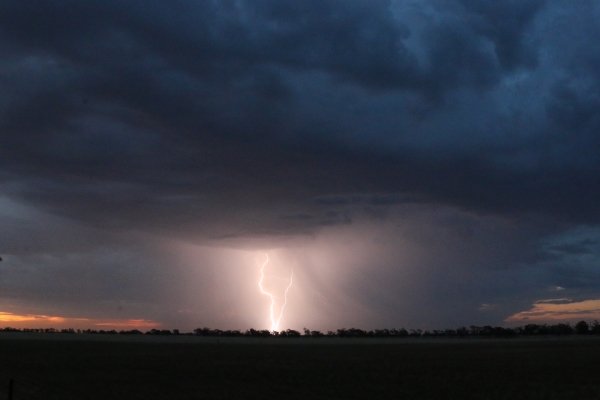
Photo above - Wangara Consulting.
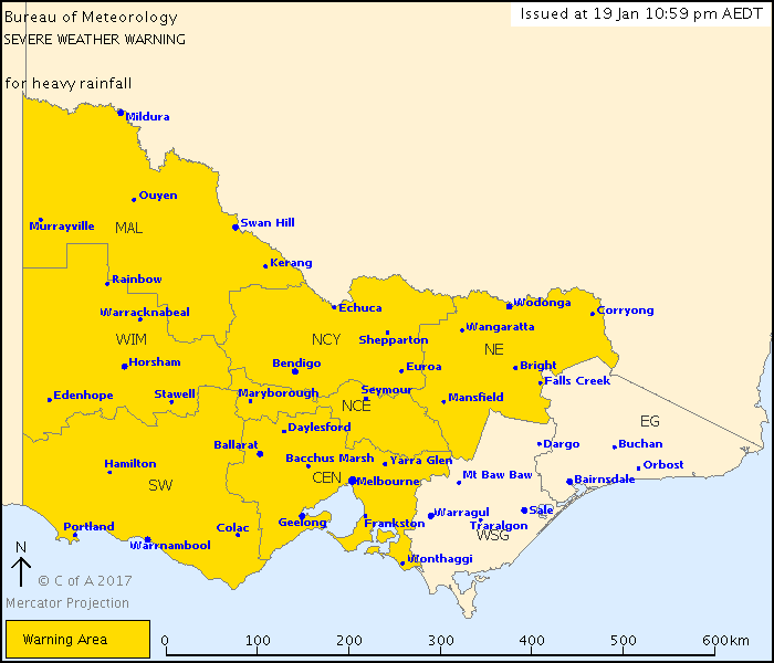
Map - BOM.
|